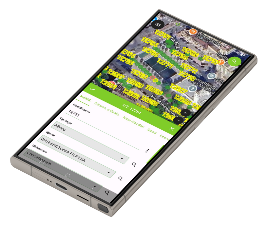
QFIELD
Seamless fieldwork
What is QFIELD
QField is a powerful open source mobile data collection and field mapping application designed to work with QGIS projects. It allows you to take your QGIS projects into the field on Android and iOS devices.
What makes QField a great solution on fieldwork:
- Mobile QGIS Experience: Brings core QGIS functionality to mobile devices with an interface optimized for field work
- Online and Offline Mapping: Works with both online and offline maps, allowing field work in remote areas without connectivity
- Data Collection: Supports creating and editing features with attributes, including photos, sketches, and other media attachments
- GPS Integration: Uses device GPS for positioning, navigation, and data collection with real-time location tracking
- Synchronization: Offers ways to synchronize field changes back to your main QGIS project (through QFieldSync plugin).
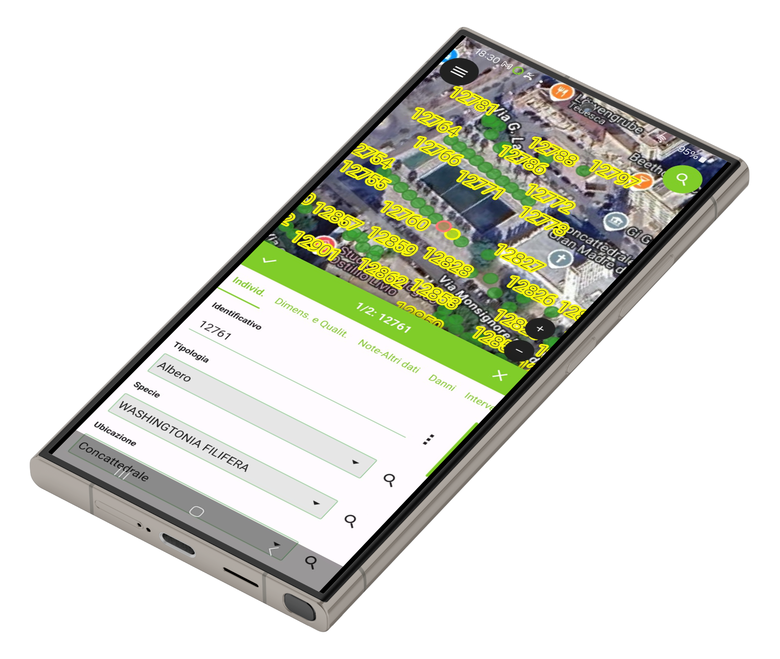
What you can do with QFIELD
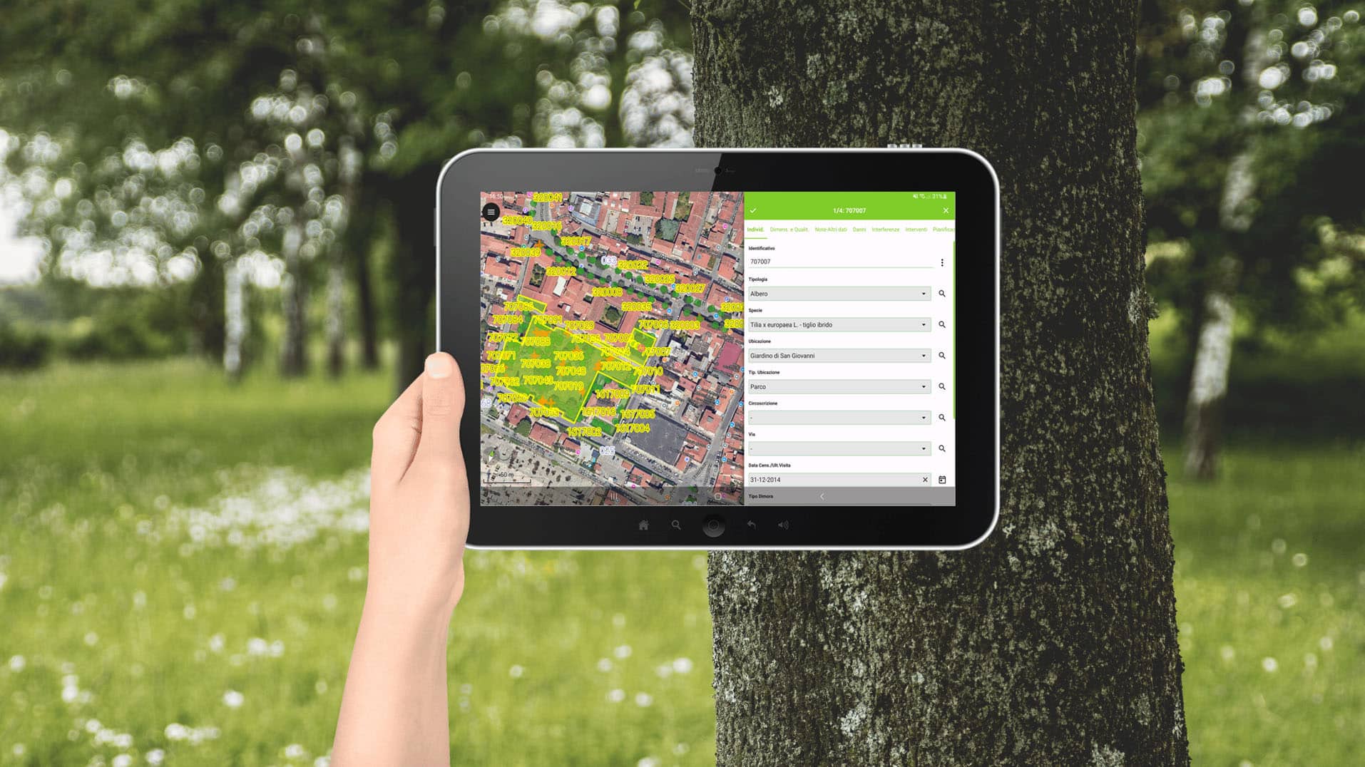
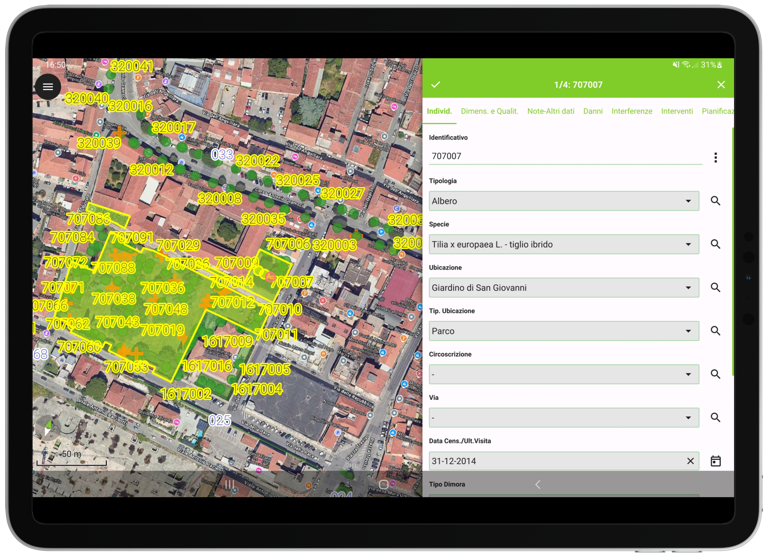
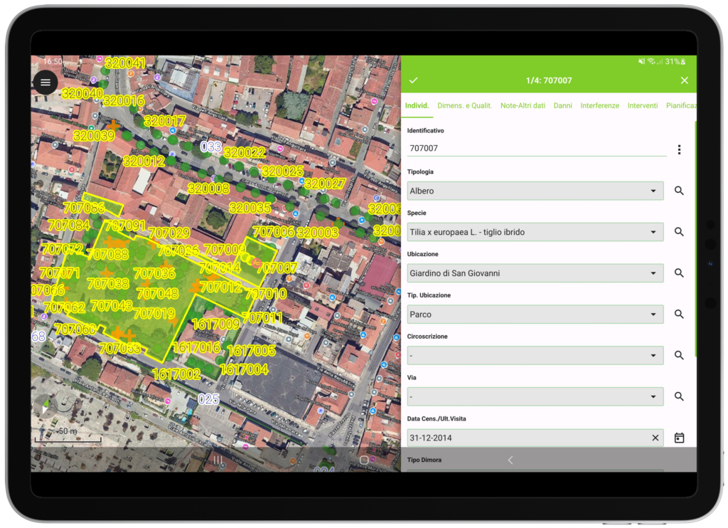
QFIELD allows you to use the data loaded in GINVE.CLOUD to be used on fieldwork and perform multiple operations on the field such as positioning trees on the map using GPS and filling in a VTA (Visual Tree Assessment), taking photos, planning interventions and entering numerous data relating to green areas. Thanks to its ability to function without an internet connection, QFIELD guarantees continuity in work and outstanding performance during data entry activities.
