GINVE.WEB
WebGIS platform for citizens

What is GINVE.WEB
GINVE.WEB is a WebGIS platform purposedly programmed for common people to visualize and question the green heritage of their own town in an easy and intuitive way. Thanks to GINVE.WEB public authorities can deliver an added value to the green patrimony making all info related to green areas available to the public, detailing the species and the elements of urban furniture on the territory.
GINVE.WEB is the perfect tool to encourage people, schools and universities to investigate and learn more about the green patrimony available in town, and promote public authority’s transparency with the purpose of raising awareness and preservation.


What you can do with GINVE.WEB
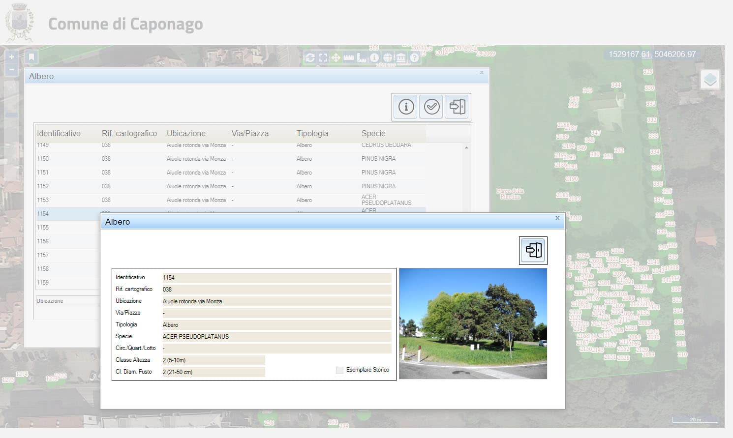
GINVE.WEB grants the user the access to the green map, where data about trees, bushes, shrubs, lawns, and urban furniture are viewable and questionable.
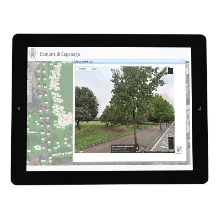
The route calculation function provides the user with the shortest route possible to reach a park or a green area and thanks to Google Street View® see a sneak peek of the area and its pictures. By using Google Street View® function on route calculation, it is possible to get a preview of the location selected on the map and the shortest route to reach it.
In addition to this, GINVE.WEB allows users to view statistic graphics on green composition available on territory in real time.

GINVE.WEB - How it works
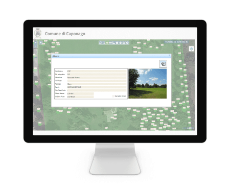
GINVE.WEB works with a regular internet browser and an internet connection. No additional software installation is required. With free access, people can visualize the map of the territory and search for a tree, or a play equipment and related info and pictures.

GINVE.WEB - How it works
GINVE.WEB works with a regular internet browser and an internet connection. No additional software installation is required. With free access, people can visualize the map of the territory and search for a tree, or a play equipment and related info and pictures.

